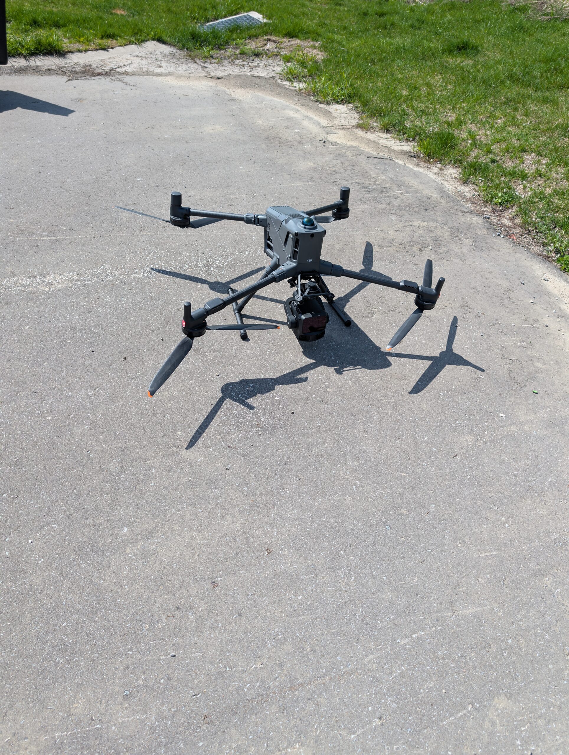
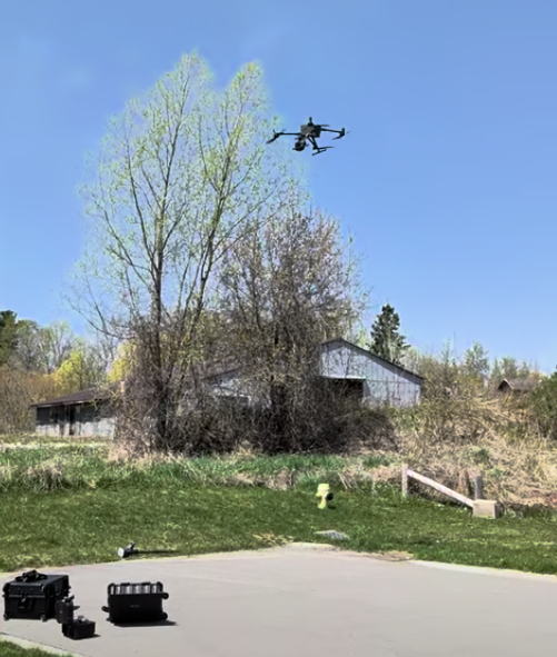
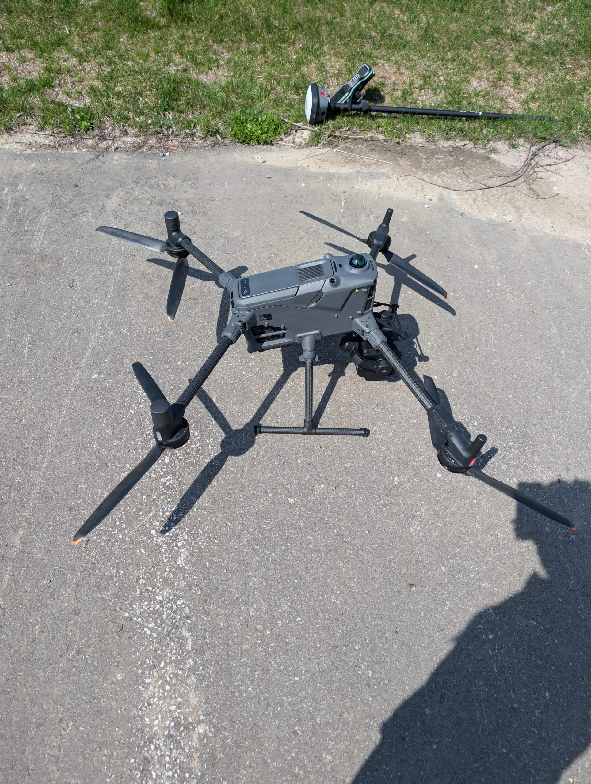
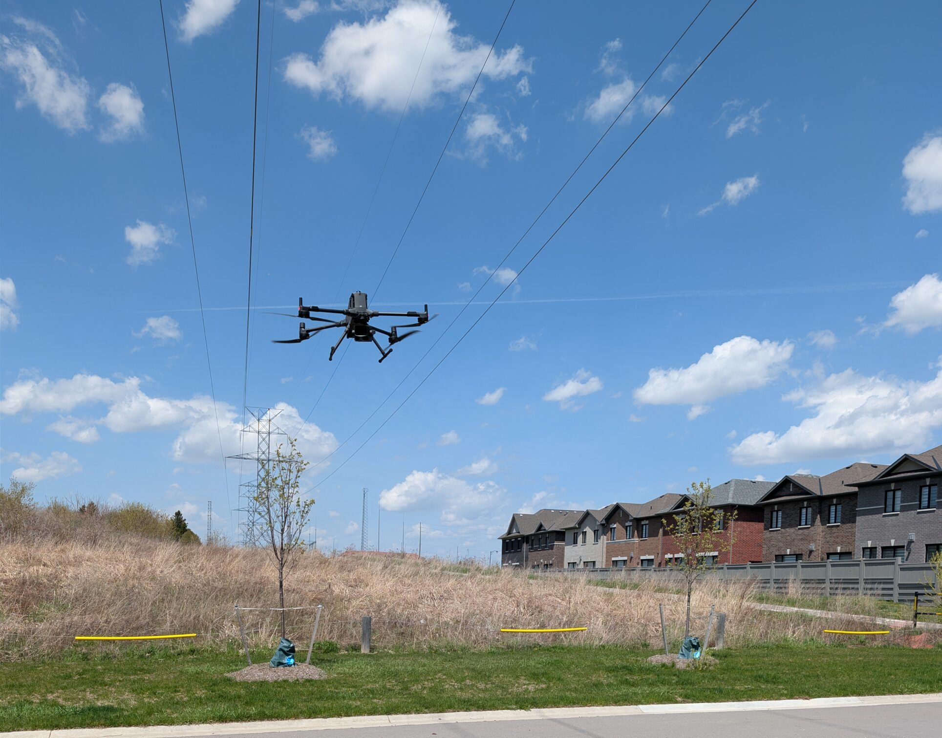
Get high-resolution, geometrically corrected aerial maps where every pixel represents a precise real-world measurement. These maps are ideal for site progress monitoring, large-scale planning, and detailed visual documentation at a scale traditional maps cannot match.