Mail Us

info@geosolutionsurveying.com

Call Us

905 429 0310

Grading Plan & Grading Certificate

Providing comprehensive site grading design and certification services to ensure proper drainage, municipal compliance, and a solid foundation for your construction project.

Grading Plan & Grading Certificate

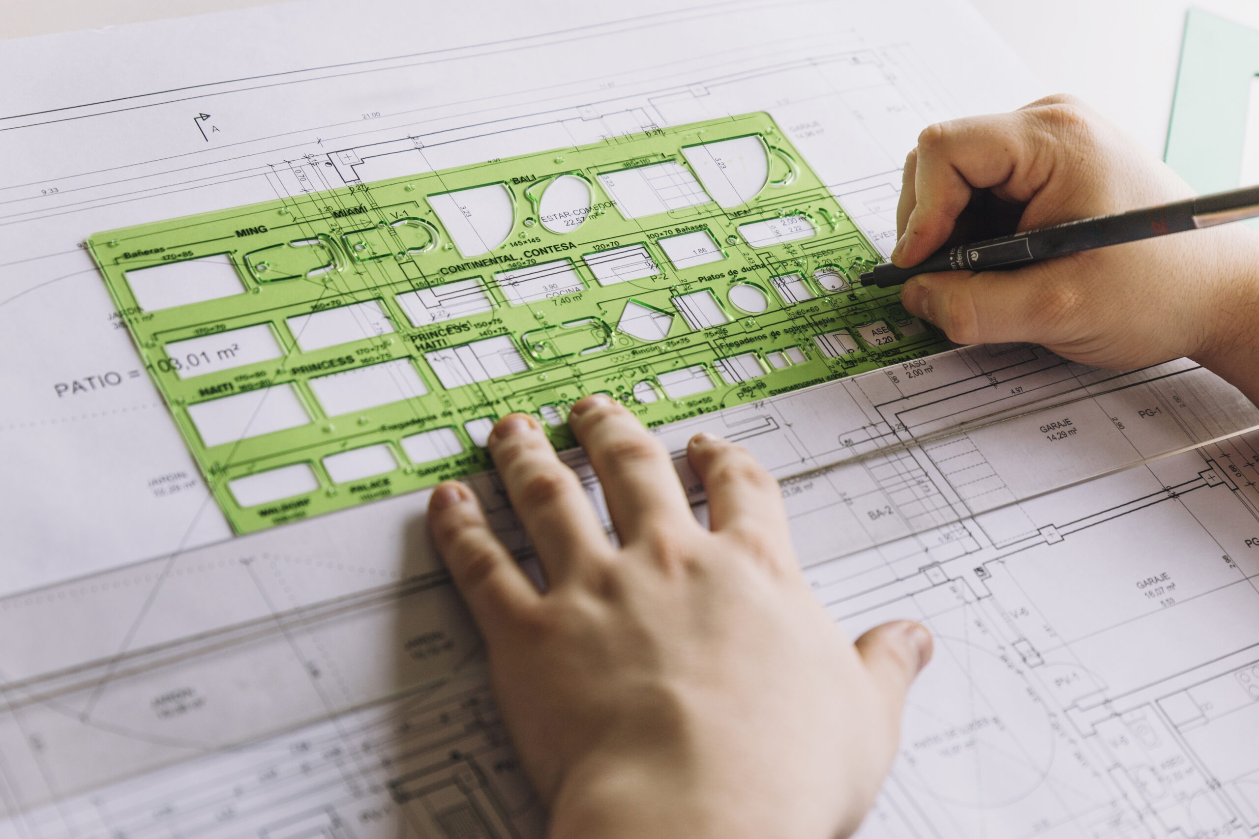
Before you can begin building your dream home or starting a major renovation, obtaining a building permit is the first step. A Site Grading Plan is a crucial part of that application, and most municipalities require one to be submitted. However, this stage can often become complex and time-consuming, as each municipality and conservation authority has its own set of requirements — making the process challenging and sometimes costly.


The primary purpose of a Site Grading Plan is to demonstrate to the municipality that, upon completion of construction, water will properly drain away from the building and will not affect neighbouring properties. While general guidelines can be difficult to define due to varying municipal standards, GeoSolutions Surveying & Engineering is here to guide you through every step, tailoring the process to your specific project needs and location.
At GeoSolutions, we prepare numerous Site Grading Plans each year and can help you:
There are several key steps involved before and after submitting your building permit application. Multiple drawings must work in coordination with one another to ensure your Site Grading Plan is complete, compliant, and ready for approval.

Our Process

Our systematic grading and certification process ensures precision, efficient drainage compliance, and seamless municipal approvals from initial design to final inspection.

Pre-consultation with municipality

Preparing Site Grading Plan for you

Submission of Building Permit application

Technical Review by authorities

Permit Issued

Our Portfolio

Step 1

Pre-consultation with municipality

Step 2

Preparing Site Grading Plan for you

Step 3

Submission of Building Permit application

Step 4

Technical Review by authorities

Step 5

Permit Issued

General Requirements Before Starting a Site & Grading Plan

Before a Site Grading Plan can be initiated, the following are typically required:

Important Notes

For lots with variable terrain, it’s often beneficial to have a topographic and boundary survey completed during the architectural design phase—helping optimize your design and reduce construction costs.
If your property falls within a regulated conservation area, a clearance letter or permit will be required before a building permit is issued.

To learn more or discuss your project, contact GeoSolutions Surveying & Engineering to schedule a free phone consultation with one of our Site Plan Specialists.

Overview

A Grading Plan defines how the ground surface of a property will be shaped during construction — ensuring proper drainage, stability, and compliance with municipal engineering standards. The Grading Certificate verifies that the final grading has been completed according to the approved plan, ensuring the site is safe, functional, and environmentally responsible.

Why Grading plan & grading certificate

Our experienced engineers and surveyors ensure accuracy, compliance, and long-term site performance.

Precision Design — Accurate slope and elevation planning for optimal drainage.

Municipal Compliance — Plans and certificates approved by local authorities.

End-to-End Service — From grading design to final certification.

Sustainable Solutions — Environmentally responsible grading practices to protect the land and nearby properties.

Frequently Asked Questions

Are Site Plan, Grading Plan, Drainage Plan, and Site Grading Plan the Same?

This depends on the definitions used by the municipality, which are typically outlined in the local zoning by-law.

A Site Plan is a drawing showing the location of buildings, accessory structures, driveways, services, and major landscape or site-altering features in relation to the property boundaries. Normally, a Site Plan does not include elevation or grading information.

A Grading Plan includes all the information shown on a Site Plan, plus elevation details and grading specifications. Its purpose is twofold:

  1. To demonstrate compliance with municipal Zoning By-Laws, and

  2. To ensure proper drainage and that the design will not negatively impact adjacent properties.

In some cases, municipalities may request a combined Site Grading Plan, which integrates both layout and grading information into a single drawing.

Drawings provided by your architect are generally building-specific, focusing on the design and construction details of the building itself. While an architect may include an architectural site plan in their drawings, this is usually a reference plan showing the intended placement of the building on the lot.

For most municipalities in Southern Ontario, a Site Plan or Site & Grading Plan must be prepared and signed by an Ontario Land Surveyor (OLS) or Professional Engineer. These plans provide the legal and technical information required for permitting, including lot elevations, grading, and drainage, which go beyond what architectural drawings typically cover.

Designing efficient grading solutions for safe and compliant construction.

Our Commitment

We are committed to delivering precise, compliant, and sustainable grading solutions that enhance safety, prevent drainage issues, and meet all municipal standards. From the initial design to the final certification, we ensure every detail supports your project’s success and environmental integrity.