

Step 1
Planning & Preparation
We review existing records, define the survey scope, and identify site conditions to ensure smooth execution.
Accurate and detailed land surveys to guide your design, development, and construction projects.
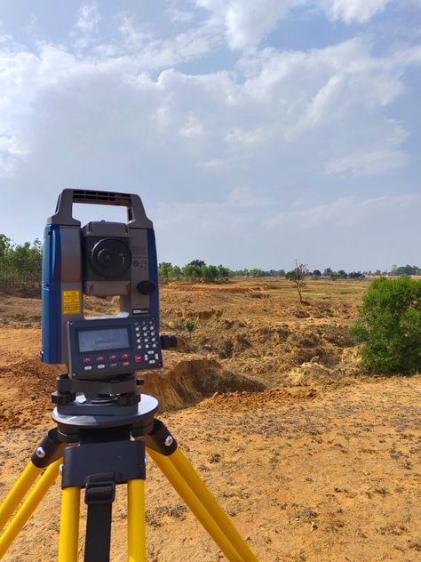
A Topographical Survey (Topo Survey) provides a detailed representation of the natural and man-made features of a property. It includes contours, elevations, structures, vegetation, and utilities — both visible and underground (with third-party verification). This information is essential for engineers, architects, planners, and developers to make informed decisions for site design, construction, and land management.
At GeoSolutions Surveying & Engineering, we use advanced surveying equipment and techniques to deliver precise and reliable topographic data. Our surveys help determine property grades, assist in drainage and design planning, and ensure every project begins with accurate information.

Our systematic topographic survey process ensures accuracy, consistency, and compliance from fieldwork to final CAD plan.
Planning & Preparation
We review existing records, define the survey scope, and identify site conditions to ensure smooth execution.
Field Survey
Our field team collects detailed elevation data using GPS, Total Stations, and other advanced instruments. All natural and built features are captured precisely.
Data Processing & Analysis
Collected field data is processed and verified through quality control checks to ensure accuracy and consistency.
Drafting
Our drafting team prepares CAD drawings following municipal and client-specific standards.
Quality Control
Each survey undergoes internal review and field validation using current imagery and captured photos.
Final Review & Delivery
Deliverables are finalized and approved before submission. This ensures all technical requirements are met.
Engineering Surveys are the backbone of successful infrastructure and construction projects. These surveys provide accurate measurements, data, and spatial information essential for planning, designing, and executing engineering works — from highways and bridges to utilities and site developments.

Our systematic topographic survey process ensures accuracy, consistency, and compliance from fieldwork to final CAD plan.
We review existing records, define the survey scope, and identify site conditions to ensure smooth execution.
Our field team collects detailed elevation data using GPS, Total Stations, and other advanced instruments. All natural and built features are captured precisely.
Collected field data is processed and verified through quality control checks to ensure accuracy and consistency.
Our drafting team prepares CAD drawings following municipal and client-specific standards.
Each survey undergoes internal review and field validation using current imagery and captured photos.
Deliverables are finalized and approved before submission. This ensures all technical requirements are met.
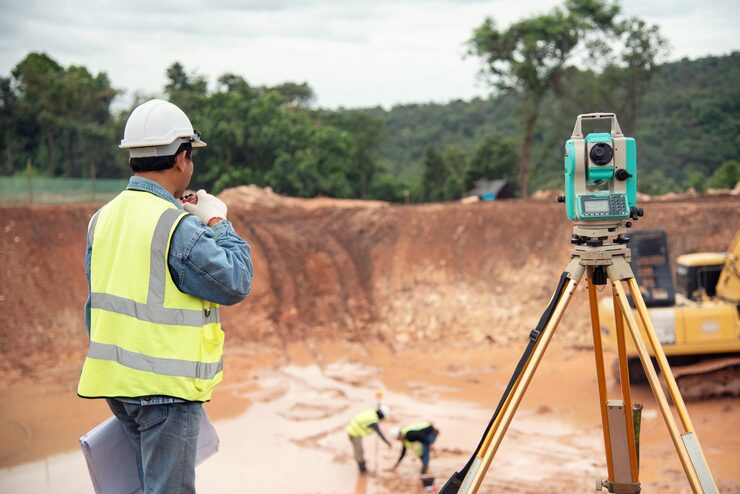

We are dedicated to delivering topographical surveys that combine accuracy, efficiency, and clarity. Our goal is to provide our clients with precise land data that supports smarter design, safer construction, and better decision-making — every step of the way.
Accuracy, reliability, and experience make all the difference in engineering projects. Our surveying solutions are tailored to deliver consistent, high-quality results across diverse sectors.